Drone Surveys in City of London
Operating throughout City of London, London, we supply high-accuracy topographical mapping, measured building scans, and volumetrics to local architects, engineers, and developers.
 Drone surveys in City of London
Drone Surveying Services in City of London
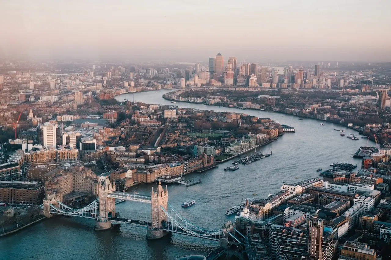
London Aerial Surveys (a trading name of UAS LONDON LIMITED) delivers precision-grade drone mapping and structural surveys across the historic City of London (the 'Square Mile'). As London’s primary financial centre, the City demands the highest technical accuracy and safety compliance. Our services assist development practices, commercial property managers, and civil contractors in capturing detailed geospatial datasets, roof elevations, and facade profiles within one of the most complex urban environments in the world.
Local Context & Building Stock
The land-use profile of the City of London is characterized by a dense concentration of high-rise commercial structures, historic listed buildings, and key transport links. Development in the City typically involves complex structural retrofits, rights-of-light disputes, rooftop plant modifications, and facade maintenance. Ground access is highly restricted, and traditional land surveying is often hindered by the narrow alleyways and GPS signal blocking from surrounding towers. Deploying aerial systems with RTK positioning allows us to bypass street-level obstacles to map roof profiles, structural envelopes, and clearances with extreme metric precision.
High-Demand Survey Offerings
Airspace & Flight Safety Compliance
Drone flights in the City of London operate in highly restricted airspace (EG R160). Operations require Enhanced Flight Authorisation from the CAA, direct slot booking with NATS, and coordination with the City of London Police. London Aerial Surveys coordinates the entire permission pipeline. We utilize dual-GPS, transponder-equipped (ADS-B) DJI Matrice 4E systems and establish rigorous ground safety cordons, ensuring full safety compliance and alignment with aviation guidelines.
Common Project Profiles
Typical projects in the City of London include measured roof survey data for major office refurbishments near Liverpool Street, facade point-cloud capture for listed buildings in Aldgate, and Rights of Light spatial scanning near Bank.
Book a Survey in City of London
Contact our London coordination team for flight planning assessments and pricing for your site in City of London.
Services in City of London
Select a specific survey type to view localized specifications and deliverables for City of London:
- Drone Topographical Surveys
- Digital Terrain & Surface Models
- Photogrammetry 2D & 3D Mapping
- Orthomosaic Mapping
- Stockpile & Volume Surveys
- Pre-Construction Site Surveys
- Roof Survey Data Capture
- Residential Roof Surveys
- LiDAR-Based UAV Surveys
- Bridge Surveys
- Measured Road Surveys
- 3D Laser Scanning
- Measured Building Surveys
- As-Built Surveys
- Matterport 3D Virtual Tours
- Land Registry Lease Plans
- Land Registry Title Plans
- MEP Design & BIM Coordination
- Marine & Hydrographic Surveys