Measured Building Surveys in London
Accurate measured building surveys producing scaled floor plans, elevations, and sections for residential and commercial property across London.
From £600 + VAT — build an instant estimate↓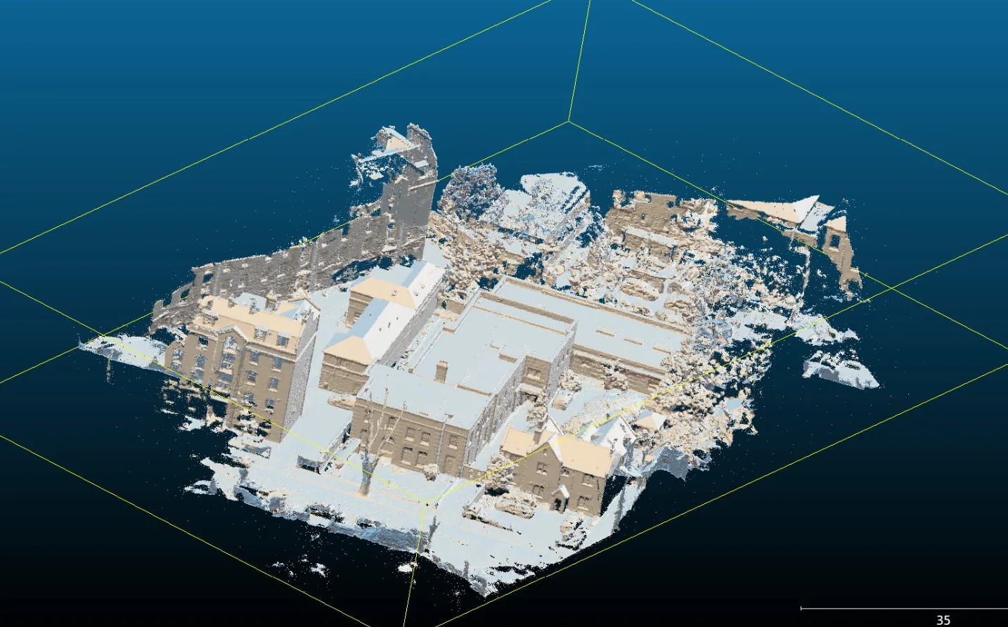 Measured Building Surveys & Laser Scanning
Service Overview
A measured building survey is the accurate, scaled record of a property that every architect, designer, and developer needs before drawing a single line of a new scheme. We capture the building inside and out — room dimensions, wall thicknesses, window and door positions, floor-to-ceiling heights, structural features, and existing service locations — and deliver them as clean, layered CAD drawings. Whether you are extending a single dwelling, converting a commercial floorplate, or assembling planning drawings for a listed terrace, our surveys give your design team dependable existing-conditions information so schemes are costed and built on fact, not assumption.
Want a ballpark price now?
Build a no-obligation estimate for measured building surveys in seconds.
Key Benefits
Accuracy & Methodology
We combine laser scanning and direct measurement to record the building methodically, floor by floor. Control is carried through the property so that every level aligns vertically and horizontally. Field data is drawn up in CAD to your required layering and drawing conventions (for example the architect's template), and each drawing is checked against the survey record before issue.
Data & Deliverables
We export high-density spatial datasets ready for ingestion in leading architectural and civil engineering software.
- Scaled 2D floor plans for every level (.DWG / .DXF / PDF)
- Internal and external elevations and cross-sections
- Reflected ceiling plans and roof plans where required
- Site location plan tied to Ordnance Survey coordinates
Service Specific FAQ
Q: What information do you need before surveying a property?
Ideally the property address, an indication of floor area and number of storeys, access arrangements, and the deliverables and scale you need (for example 1:50 floor plans and elevations). If your architect has a CAD template or layering standard, we work to it so the drawings drop straight into their model.
Q: Do you survey occupied buildings?
Yes. We routinely survey occupied homes, offices, and retail units, scheduling around tenants and minimising disruption. Laser scanning is fast and non-intrusive, so most rooms are recorded in minutes.