LiDAR-Based UAV Surveys in London
Advanced laser scanning from the air to penetrate dense vegetation, mapping the true ground surface with extreme precision.
From £1,750 + VAT — build an instant estimate↓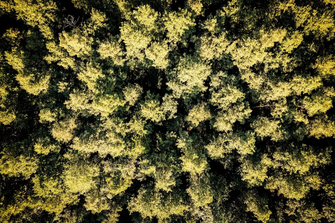 Specialist Surveying
Service Overview
When a site is covered in thick vegetation, brambles, or tree canopies, photogrammetry cannot see the ground, making topographical mapping inaccurate. Our LiDAR (Light Detection and Ranging) drone surveys solve this by sending hundreds of thousands of laser pulses per second through the foliage. Some pulses hit the leaves, but others pass through to strike the bare ground underneath. This allows us to generate highly accurate bare-earth models (DTMs) even in dense woodland, rail corridors, or overgrown development plots.
Want a ballpark price now?
Build a no-obligation estimate for lidar-based uav surveys in seconds.
Key Benefits
Accuracy & Methodology
We fly a LiDAR payload (integrating a laser scanner, high-grade IMU, and RTK GNSS) over the site. The system records multiple return signals from each pulse, allowing us to classify the first return (canopy top) down to the last return (bare ground). The IMU logs drone pitch, roll, and yaw at high frequency, which we post-process against ground base-stations to calculate precise laser return coordinates.
Data & Deliverables
We export high-density spatial datasets ready for ingestion in leading architectural and civil engineering software.
- Vegetation-Penetrated Bare Earth DTMs (.TIFF / .LAS format)
- Classified Point Clouds (Ground, Low Veg, Medium Veg, High Veg, Buildings)
- Precision 3D CAD vectors of structural spans and corridor profiles
- Forestry canopy metrics and slope analysis reports
Service Specific FAQ
Q: When should we choose LiDAR over photogrammetry?
Choose LiDAR if your site has significant tree, ivy, or brush cover, or if you need to map thin structures like overhead cables and railway tracks. Choose photogrammetry for open sites where high-resolution photographic textures and 2D map drawings are the primary need.
Q: Can drone LiDAR surveys map building structures?
Yes, LiDAR is excellent for mapping building massing, complex façades, and power infrastructures in high detail, generating crisp 3D spatial points without stitching distortions.