Drone Topographical Surveys in London
High-accuracy, rapid topographic data capture for greenfield, brownfield, and urban development projects across London.
From £900 + VAT — build an instant estimate↓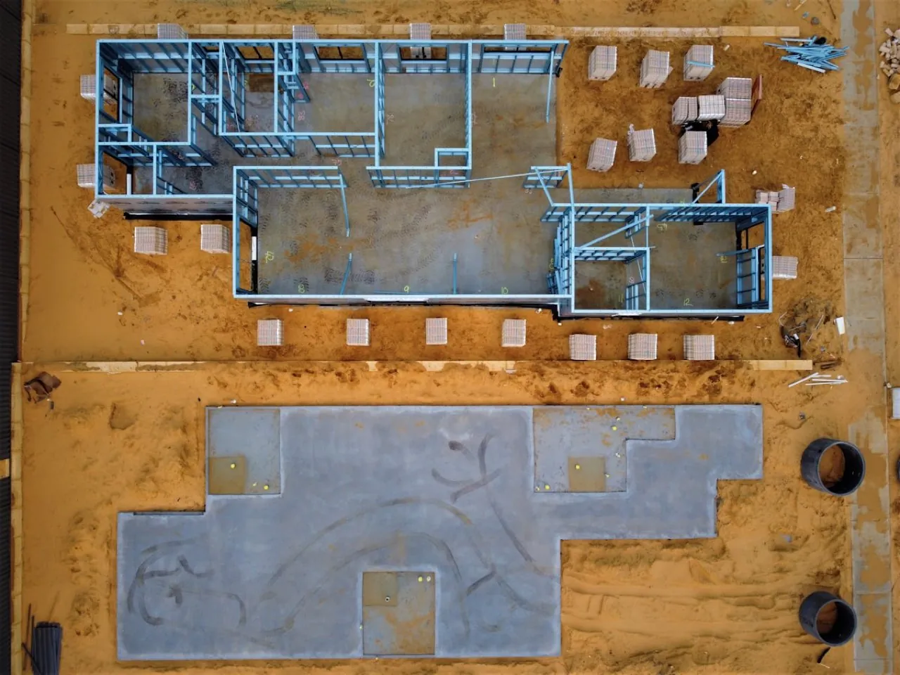 Land & Topographic Surveys
Service Overview
Our drone topographical surveys combine high-resolution aerial photogrammetry and RTK GPS positioning to map site features, boundary lines, and levels. Executed with enterprise DJI Matrice 4E platforms, these surveys dramatically reduce on-site time compared to traditional total station methods while providing millions of data points rather than single coordinate checks. Perfect for architects, land developers, and civil engineers preparing planning submissions or baseline designs.
Want a ballpark price now?
Build a no-obligation estimate for drone topographical surveys in seconds.
Key Benefits
Accuracy & Methodology
Our commercial pilots deploy the DJI Matrice 4E in combination with local RTK corrections. We establish high-precision Ground Control Points (GCPs) and checkpoints across the site using Trimble GNSS rovers. The drone flies a pre-planned double-grid pattern with an 80% overlap, capturing high-resolution photos that are later stitched in photogrammetry engines and calibrated using the GCP coordinates.
Data & Deliverables
We export high-density spatial datasets ready for ingestion in leading architectural and civil engineering software.
- 2D/3D CAD Drawing Files (.DWG / .DXF format)
- Digital Land Surface Contours at 100mm / 250mm intervals
- High-resolution Orthomosaic Site Maps (GeoTIFF / Web Tiles)
- Registered 3D Point Clouds (.LAS / .LAZ format)
Service Specific FAQ
Q: How do drone topographical surveys compare with traditional ground surveys?
Drone surveys capture millions of data points and visual contexts, making them much faster and more comprehensive. However, for dense vegetation cover or very high vertical accuracy thresholds (e.g. setting out concrete formwork), we integrate drone photogrammetry with traditional GPS/total station ground surveying.
Q: Do you need access to the site to set up ground control?
Yes, we always place physical Ground Control Points (GCPs) on the ground to calibrate the aerial data and verify absolute spatial accuracy. We require physical access permissions for the duration of this setup.