Drone Surveys in Westminster
Operating throughout London Borough of Westminster, we supply high-accuracy topographical mapping, measured building scans, and volumetrics to local architects, engineers, and developers.
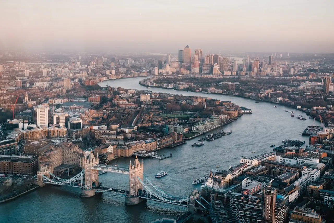 Drone surveys in Westminster
Drone Surveying Services in Westminster
London Aerial Surveys (a trading name of UAS LONDON LIMITED) provides premier, survey-grade drone mapping and structural scanning services across the City of Westminster. The historic and dense urban fabric of Westminster requires an exceptional level of technical surveying competence and regulatory compliance. From the iconic facades of Whitehall to the commercial properties of Mayfair and Soho, our team is equipped to capture high-resolution geospatial data that supports architectural design, heritage conservation, and complex planning submissions.
Local Context & Building Stock
The City of Westminster is characterized by its high-density urban core, featuring a unique blend of Grade I and Grade II listed buildings, royal parks, government offices, and high-value commercial estates. Unlike suburban areas, development in Westminster typically focuses on structural refurbishment, vertical extensions, facade retentions, and internal fit-outs of historic building stock. Traditional surveying methods often struggle with Westminster's dense streetscape, where building height and narrow roadways restrict GPS signals and line-of-sight total station surveys. By deploying aerial platforms, we bypass ground-level blockages to capture roof profiles, parapet alignments, and structural configurations from above, providing a comprehensive data foundation for architects and structural engineers.
High-Demand Survey Offerings
Airspace & Flight Safety Compliance
Operating UAVs in the City of Westminster involves navigating the UK's most heavily restricted airspace. The area lies within the London Restricted Area (EG R160 - Hyde Park) and is close to critical government infrastructure. Flights are strictly prohibited without specific Enhanced Flight Authorisation from the CAA, coordination with NATS, and direct liaison with the Metropolitan Police Diplomatic Protection Group. London Aerial Surveys manages this entire coordination process. Our commercial pilots hold active Operational Authorisation, and our drones carry active transponders (ADS-B), ensuring full visibility to air traffic controllers at Heathrow and London Heliport.
Common Project Profiles
Typical projects in Westminster include baseline measured building scans for refurbishment projects on Regent Street, roof geometry capture for commercial buildings near Victoria Station, and detailed photogrammetric scans of historic facades in Covent Garden to assist conservation planning.
Book a Survey in Westminster
Contact our London coordination team for flight planning assessments and pricing for your site in Westminster.
Services in Westminster
Select a specific survey type to view localized specifications and deliverables for Westminster:
- Drone Topographical Surveys
- Digital Terrain & Surface Models
- Photogrammetry 2D & 3D Mapping
- Orthomosaic Mapping
- Stockpile & Volume Surveys
- Pre-Construction Site Surveys
- Roof Survey Data Capture
- Residential Roof Surveys
- LiDAR-Based UAV Surveys
- Bridge Surveys
- Measured Road Surveys
- 3D Laser Scanning
- Measured Building Surveys
- As-Built Surveys
- Matterport 3D Virtual Tours
- Land Registry Lease Plans
- Land Registry Title Plans
- MEP Design & BIM Coordination
- Marine & Hydrographic Surveys