Digital Terrain & Surface Models in London
Precision bare-earth DTMs and fully-featured DSMs for flood risk assessment, drainage engineering, and terrain analysis.
From £300 + VAT — build an instant estimate↓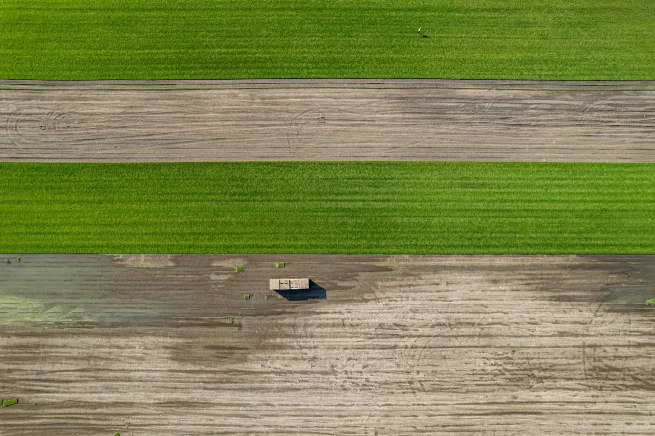 Land & Topographic Surveys
Service Overview
We generate highly accurate elevation datasets representing both the bare ground (Digital Terrain Model) and the raw top surface including buildings and vegetation (Digital Surface Model). Using high-accuracy drone data, we filter out non-ground objects to deliver clean, bare-earth topographic profiles. These models are crucial for hydraulic modelling, slope analysis, planning appeals, and environmental impact assessments in urban and suburban London.
Want a ballpark price now?
Build a no-obligation estimate for digital terrain & surface models in seconds.
Key Benefits
Accuracy & Methodology
Following an RTK-corrected flight plan, the resulting high-density point cloud is processed. Noise, structures, and tall vegetation are classified and filtered out using advanced spatial analysis algorithms to isolate the true ground surface. A continuous gridded DTM is then interpolated from the ground-classified points.
Data & Deliverables
We export high-density spatial datasets ready for ingestion in leading architectural and civil engineering software.
- Bare-Earth Digital Terrain Model (DTM) in GeoTIFF / ESRI Grid format
- Digital Surface Model (DSM) representing absolute top surface heights
- Digital Elevation Model (DEM) files suitable for GIS calculations
- XYZ ASCII coordinate grids and CSV height tables
Service Specific FAQ
Q: Can drones map the terrain underneath dense tree canopies?
Photogrammetry relies on visual sight of the ground, so heavy vegetation will limit bare-earth capture. In heavily forested areas, we recommend LiDAR-based drone surveys, which can penetrate tree foliage to capture the terrain below.
Q: What format are these elevation models delivered in?
We typically deliver elevation models as GeoTIFF files for GIS platforms, or as XYZ/ASCII grids. We can also convert them into 3D meshes or CAD surfaces to suit your engineering software.