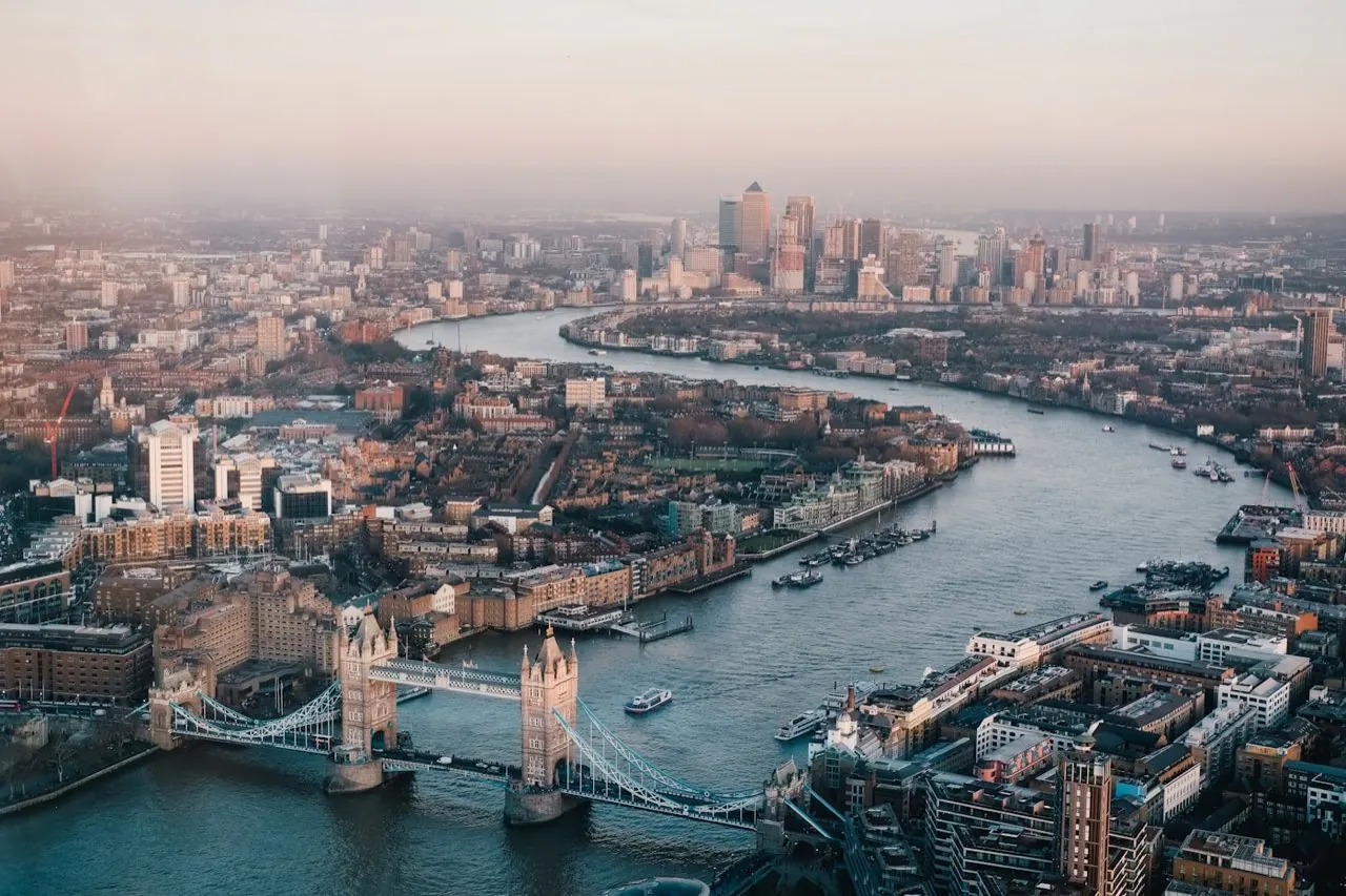
Drone Surveys in SW17
Operating throughout Postcode Sector SW17 (South West London), we supply high-accuracy topographical mapping, measured building scans, and volumetrics to local architects, engineers, and developers.
 Drone surveys in SW17
Drone Surveying Services in SW17
London Aerial Surveys (a trading name of UAS LONDON LIMITED) delivers professional, survey-grade drone mapping and structural scanning services within Postcode Sector SW17 (South West London). Our experienced team specialises in capturing high-resolution spatial datasets for developers, civil engineers, and contractors. By deploying advanced UAV platforms, we provide rapid, safety-first alternatives to traditional ground surveys, enabling project teams to acquire accurate CAD and GIS layers quickly.
Local Context & Building Stock
The land-use and architectural profile of SW17 includes a mix of densely developed residential zones, local high streets, and industrial pockets typical of the South West London region. Developments in this area often face spatial constraints, where sites are bounded by busy roadways, neighbouring buildings, or railway lines. Surveying these locations using traditional ground crews can be slow and dangerous due to access limitations and traffic hazards. Aerial surveying solves these issues by mapping the site from above. Our drones capture every boundary, level, and structure across the property, producing scale-accurate site maps and contours that support design planning and boundary verification.
High-Demand Survey Offerings
Airspace & Flight Safety Compliance
Conducting drone operations in the SW17 postcode cluster requires professional airspace management. Depending on the exact site coordinates, flights may intersect with controlled airspace, requiring NATS clearances and local authorizations. London Aerial Surveys manages the entire planning phase. We conduct comprehensive risk assessments, coordinate flights with air traffic control, and establish ground safety zones to protect the public. Our pilots are fully CAA-compliant and operate under strict safety guidelines.
Common Project Profiles
Our team regularly undertakes surveying projects in and around SW17, including topographical mapping for residential developments, measured roof surveys for commercial asset audits, and baseline site mapping to assist local planning submissions.
Book a Survey in SW17
Contact our London coordination team for flight planning assessments and pricing for your site in SW17.
Services in SW17
Select a specific survey type to view localized specifications and deliverables for SW17:
- Drone Topographical Surveys
- Digital Terrain & Surface Models
- Photogrammetry 2D & 3D Mapping
- Orthomosaic Mapping
- Stockpile & Volume Surveys
- Pre-Construction Site Surveys
- Roof Survey Data Capture
- Residential Roof Surveys
- LiDAR-Based UAV Surveys
- Bridge Surveys
- Measured Road Surveys
- 3D Laser Scanning
- Measured Building Surveys
- As-Built Surveys
- Matterport 3D Virtual Tours
- Land Registry Lease Plans
- Land Registry Title Plans
- MEP Design & BIM Coordination
- Marine & Hydrographic Surveys