3D Laser Scanning in UB2
Accurate, ground-based 3d laser scanning for property, construction, and refurbishment projects throughout Postcode Sector UB2 (Southall).
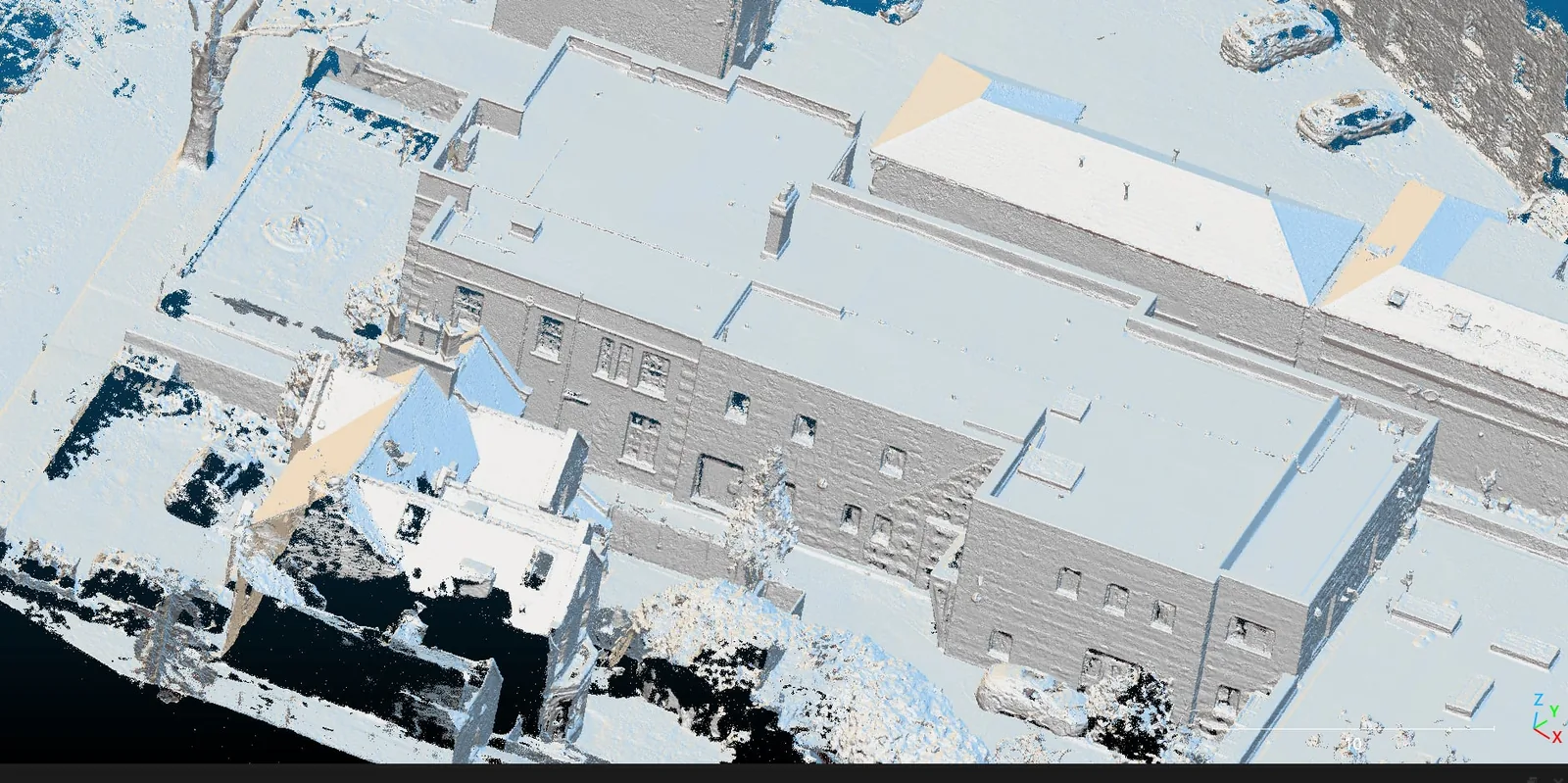 3D Laser Scanning · UB2
3D Laser Scanning in UB2
Commissioning 3d laser scanning in UB2 calls for a survey team that understands both the building stock of this part of Southall and the discipline of capturing it accurately. London Aerial Surveys (a trading name of UAS London Limited) runs an in-house measured-survey and CAD team alongside our aerial division, so a single point of contact covers everything from the on-site capture to the finished drawings. We work in occupied, live, and access-restricted buildings across UB2, recording existing conditions to a few millimetres and delivering CAD and BIM-ready outputs your design team can build on with confidence — no scaffolding, no guesswork, and no re-measures.
Want a ballpark price now?
Build a no-obligation estimate for 3d laser scanning in seconds.
How We Work in UB2
Our workflow for 3d laser scanning in UB2 runs through four stages: 1. **Walkthrough & Access Planning**: We confirm the scope, the areas to be captured, and any access constraints — tenants, security, plant rooms, or restricted floors — so the visit runs to schedule with minimal disruption to occupiers in UB2. 2. **Control & Scan Stations**: We carry a survey control network through the building so every floor and elevation aligns vertically and horizontally, then plan scan or measurement positions that leave no occlusion shadows. 3. **On-Site Capture**: We record the building inside and out — dimensions, heights, structural features, and service positions — with survey-grade laser scanning and direct measurement, capturing most rooms in minutes. 4. **Registration, Drawing & QA**: We register the data, check the error tolerances, and draw it up to your CAD layering standard, checking every drawing against the survey record before issue.
Typical 3D Laser Scanning Projects in UB2
Survey Deliverables
Why Choose Us for UB2 Operations
Location FAQ
Q: Can you survey occupied or operational buildings in UB2?
Yes. We routinely survey occupied homes, offices, and retail units across UB2, scheduling around tenants and security and working out of hours where needed. Laser scanning is fast and non-intrusive, so most spaces are recorded in minutes with minimal disruption.
Q: What formats will the drawings and models be delivered in?
We deliver scaled 2D CAD (.DWG / .DXF / PDF), registered point clouds (.E57 / .RCP / .LAS), and scan-to-BIM Revit models where required. Tell us your CAD layering standard or architect's template and we issue the drawings to match.
Registered point-cloud QA verified against survey control. Drawings issued to your CAD layering standard.