Bridge Surveys in Westminster
Providing precision aerial mapping and surveying solutions within London Borough of Westminster for civil, architectural, and development engineering.
 Bridge Surveys · Westminster
Bridge Surveys in Westminster
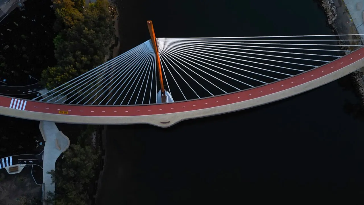
Conducting professional Bridge Surveys in Westminster requires navigating some of the UK's most critical infrastructure corridors, historic river crossings, and heavily controlled airspace. Westminster is home to iconic Thames crossings, structural rail arches, and underground rail interfaces that require regular geometric audits and condition reporting. London Aerial Surveys provides structural engineers and planning authorities with scale-accurate 3D datasets, clearance charts, and high-definition visual defect logs. By utilizing drone-based photogrammetry, we capture detailed spatial data of bridge spans and abutments, eliminating the need for expensive river barge scaffolding or highway lane possessions.
Want a ballpark price now?
Build a no-obligation estimate for bridge surveys in seconds.
How We Work in Westminster
Our workflow for bridge surveys in Westminster consists of four key stages: 1. **Pre-Flight Planning & Airspace Clearance**: We check local airspace charts. Since Westminster is within Greater London airspace, flights typically require coordination with NATS. We submit flight notifications and obtain clearances before our crew arrives on site. 2. **Ground Control Station (GCS) Setup**: On the day of the survey, our pilot establishes physical Ground Control Points (GCPs) and check-points across the site. We survey these coordinates using Trimble GNSS RTK rovers, anchoring the data to the British National Grid (OSGB36). 3. **Aerial Scan Flight**: We launch the DJI Matrice 4E. The drone flies an autonomous, double-grid flight pattern, capturing high-resolution photos with 80% overlap. The mechanical shutter eliminates motion blur, ensuring crisp structural details. 4. **Data Stitching & Quality Assurance**: Back in our laboratory, the images are stitched using photogrammetry engines. We calibrate the model using the GCP coordinate measurements and run independent checkpoints to verify vertical and horizontal tolerances.
Typical Bridge Surveys Projects in Westminster
Survey Deliverables
Why Choose Us for Westminster Operations
Location FAQ
Q: Do you need to close public roads in Westminster to perform this survey?
Generally, no. We use high-resolution zoom cameras and oblique capture angles, allowing us to map structures from a safe offset distance. We only request ground cordons in our immediate take-off and landing zones, keeping public disruption in Westminster to a minimum.
Q: What coordinate reference system is used for the data in Westminster?
Our default coordinate reference system is OSGB36 (British National Grid) with Ordnance Datum Newlyn (ODN) height benchmarks. This matches standard land registry sheets and planning layouts. We can also project the data into local site coordinates or global systems like WGS84.
Mapped to British National Grid (OSGB36) coordinate standards. DJI Matrice 4E flight telemetry logged and QA-checked.