Digital Terrain & Surface Models in NW7
Providing precision aerial mapping and surveying solutions within Postcode Sector NW7 (North West London) for civil, architectural, and development engineering.
 Digital Terrain & Surface Models · NW7
Digital Terrain & Surface Models in NW7
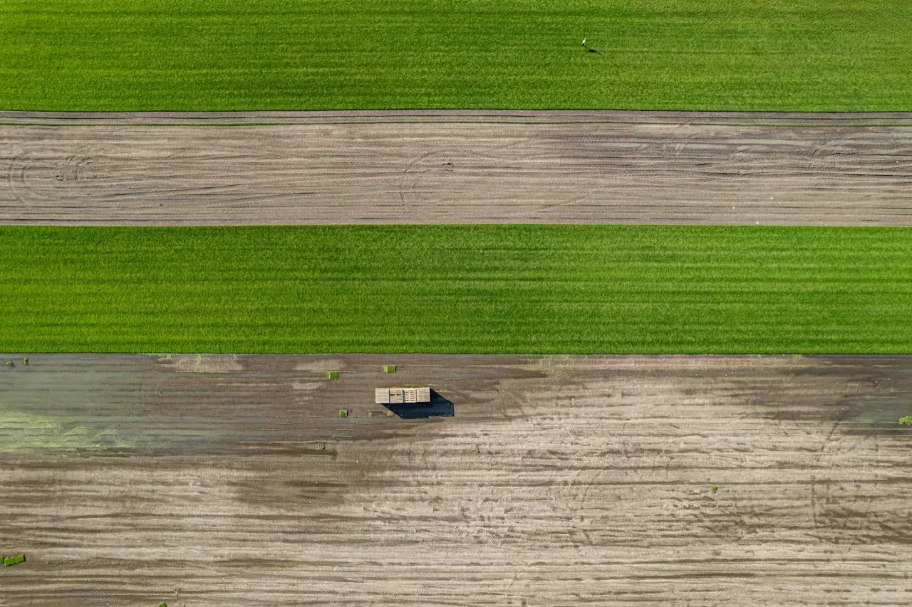
Commissioning a digital terrain & surface models in NW7 requires localized expertise that understands both the technical parameters of the survey and the geographical constraints of this part of London. At London Aerial Surveys (a trading name of UAS London Limited), we deliver survey-grade data capture using commercial-grade DJI Matrice 4E platforms. Whether you are prepping a planning application for a major redevelopment or auditing a structural asset, our aerial scans provide engineering-ready data mapped directly to the Ordnance Survey National Grid.
Want a ballpark price now?
Build a no-obligation estimate for digital terrain & surface models in seconds.
How We Work in NW7
Our workflow for digital terrain & surface models in NW7 consists of four key stages: 1. **Pre-Flight Planning & Airspace Clearance**: We check local airspace charts. Since NW7 is within the North West London airspace corridor, flights typically require coordination with NATS. We submit flight notifications and obtain clearances before our crew arrives on site. 2. **Ground Control Station (GCS) Setup**: On the day of the survey, our pilot establishes physical Ground Control Points (GCPs) and check-points across the site. We survey these coordinates using Trimble GNSS RTK rovers, anchoring the data to the British National Grid (OSGB36). 3. **Aerial Scan Flight**: We launch the DJI Matrice 4E. The drone flies an autonomous, double-grid flight pattern, capturing high-resolution photos with 80% overlap. The mechanical shutter eliminates motion blur, ensuring crisp structural details. 4. **Data Stitching & Quality Assurance**: Back in our laboratory, the images are stitched using photogrammetry engines. We calibrate the model using the GCP coordinate measurements and run independent checkpoints to verify vertical and horizontal tolerances.
Typical Digital Terrain & Surface Models Projects in NW7
Survey Deliverables
Why Choose Us for NW7 Operations
Location FAQ
Q: Do you need to close public roads in NW7 to perform this survey?
Generally, no. We use high-resolution zoom cameras and oblique capture angles, allowing us to map structures from a safe offset distance. We only request ground cordons in our immediate take-off and landing zones, keeping public disruption in NW7 to a minimum.
Q: What coordinate reference system is used for the data in NW7?
Our default coordinate reference system is OSGB36 (British National Grid) with Ordnance Datum Newlyn (ODN) height benchmarks. This matches standard land registry sheets and planning layouts. We can also project the data into local site coordinates or global systems like WGS84.
Mapped to British National Grid (OSGB36) coordinate standards. DJI Matrice 4E flight telemetry logged and QA-checked.