Drone Topographical Surveys in Croydon
Providing precision aerial mapping and surveying solutions within London Borough of Croydon for civil, architectural, and development engineering.
 Drone Topographical Surveys · Croydon
Drone Topographical Surveys in Croydon
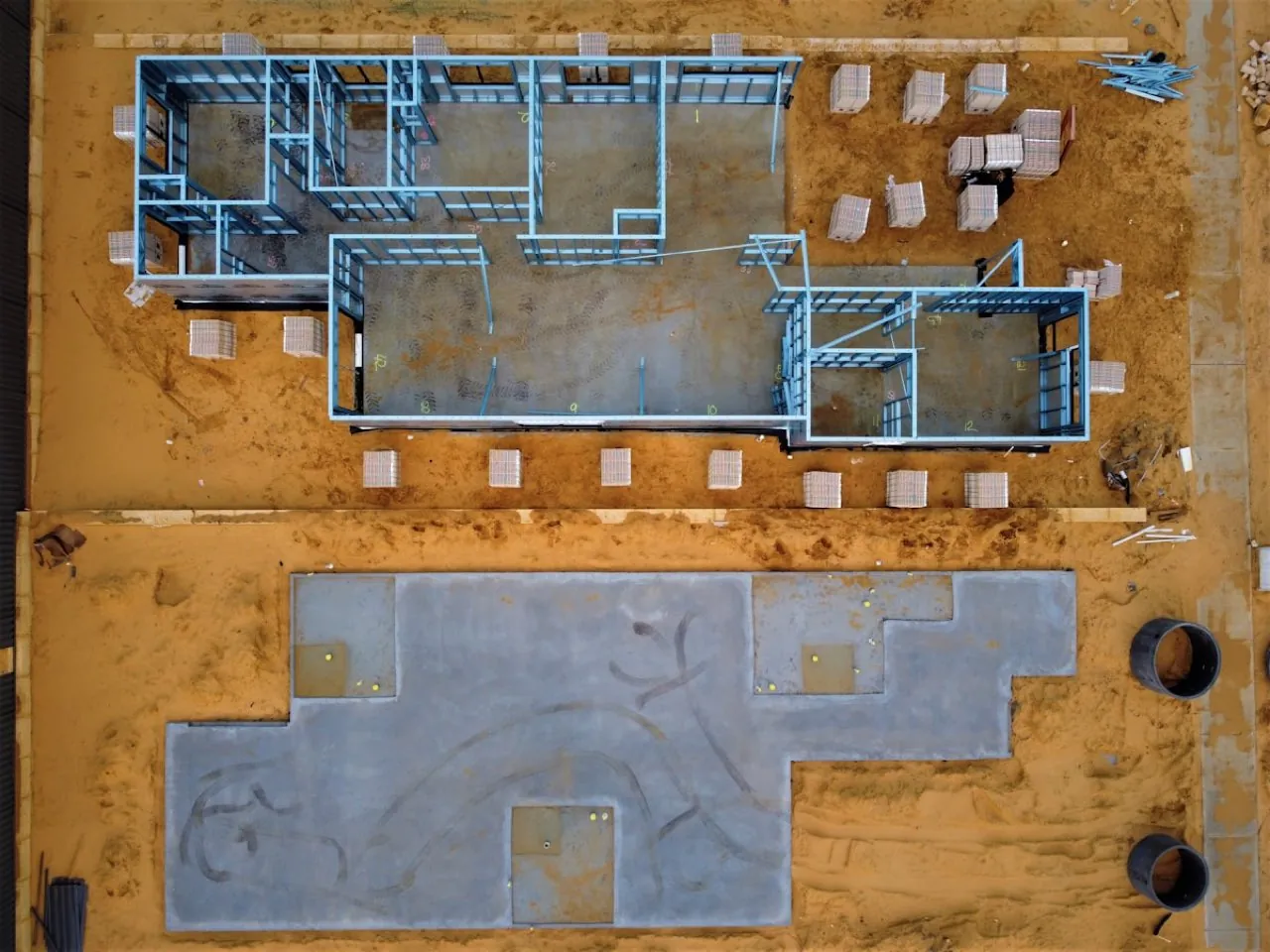
Commissioning Drone Topographical Surveys in Croydon has become the standard for land developers, architects, and civil engineers looking to bypass the delays of traditional ground-based surveying. With Croydon's status as a major London growth zone, sites along the Purley Way and in the central business district are undergoing rapid transition. Our drone topographical surveys deliver high-density coordinate models and contours, mapping every boundary wall, structural interface, and level variation. Using the DJI Matrice 4E's RTK receivers, we map these sites with millimetre-level precision, providing planning-ready CAD drawings (.DWG) in a fraction of the time.
Want a ballpark price now?
Build a no-obligation estimate for drone topographical surveys in seconds.
How We Work in Croydon
Our workflow for drone topographical surveys in Croydon consists of four key stages: 1. **Pre-Flight Planning & Airspace Clearance**: We check local airspace charts. Since Croydon is within Greater London airspace, flights typically require coordination with NATS. We submit flight notifications and obtain clearances before our crew arrives on site. 2. **Ground Control Station (GCS) Setup**: On the day of the survey, our pilot establishes physical Ground Control Points (GCPs) and check-points across the site. We survey these coordinates using Trimble GNSS RTK rovers, anchoring the data to the British National Grid (OSGB36). 3. **Aerial Scan Flight**: We launch the DJI Matrice 4E. The drone flies an autonomous, double-grid flight pattern, capturing high-resolution photos with 80% overlap. The mechanical shutter eliminates motion blur, ensuring crisp structural details. 4. **Data Stitching & Quality Assurance**: Back in our laboratory, the images are stitched using photogrammetry engines. We calibrate the model using the GCP coordinate measurements and run independent checkpoints to verify vertical and horizontal tolerances.
Typical Drone Topographical Surveys Projects in Croydon
Survey Deliverables
Why Choose Us for Croydon Operations
Location FAQ
Q: Do you need to close public roads in Croydon to perform this survey?
Generally, no. We use high-resolution zoom cameras and oblique capture angles, allowing us to map structures from a safe offset distance. We only request ground cordons in our immediate take-off and landing zones, keeping public disruption in Croydon to a minimum.
Q: What coordinate reference system is used for the data in Croydon?
Our default coordinate reference system is OSGB36 (British National Grid) with Ordnance Datum Newlyn (ODN) height benchmarks. This matches standard land registry sheets and planning layouts. We can also project the data into local site coordinates or global systems like WGS84.
Mapped to British National Grid (OSGB36) coordinate standards. DJI Matrice 4E flight telemetry logged and QA-checked.