Marine & Hydrographic Surveys in BR6
Specialist above- and below-water marine & hydrographic surveys for vessels, structures, and waterways across Postcode Sector BR6 (Bromley).
 Marine & Hydrographic Surveys · BR6
Marine & Hydrographic Surveys in BR6
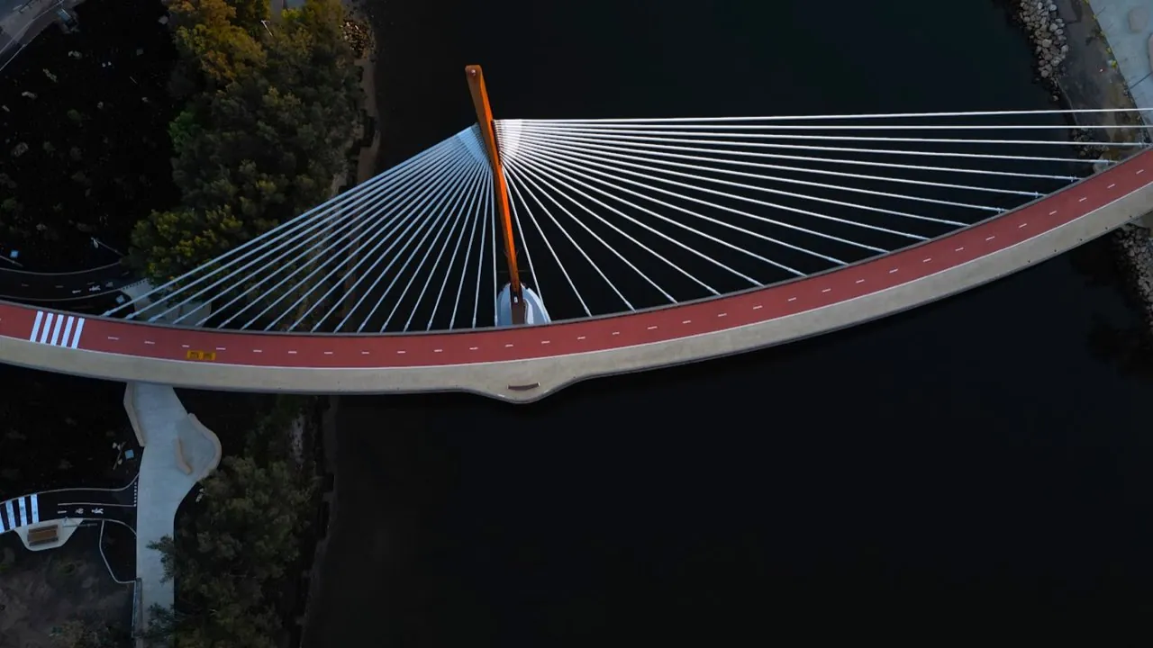
Commissioning marine & hydrographic surveys in BR6 means surveying the tidal, the floating, and the submerged — a job that demands a survey approach built for water. London Aerial Surveys (a trading name of UAS London Limited) combines above-water capture (laser scanning, photogrammetry, and aerial imagery) with hydrographic measurement of depths and the riverbed, tying everything to a common control and tidal datum. Working along the Thames and the waterways around BR6, we deliver one coordinated dataset that bridges the waterline, so marine engineers, marina and harbour operators, and waterfront developers can plan maintenance, assess ageing structures, and design new works with confidence in the levels and clearances involved.
Want a ballpark price now?
Build a no-obligation estimate for marine & hydrographic surveys in seconds.
How We Work in BR6
Our workflow for marine & hydrographic surveys in BR6 runs through four stages: 1. **Tidal & Access Planning**: We plan the survey around the tidal window and water access in BR6, confirming safe working from land, pontoon, or vessel. 2. **Control & Datum**: We establish survey control and tie the work to the correct tidal datum so levels and depths reduce correctly. 3. **Above- and Below-Water Capture**: We scan and image the structure above water while measuring depths and the riverbed below, recording tide observations throughout. 4. **Merge & Report**: We combine the two datasets into one coordinated model and issue plans, sections, and condition or clearance reports.
Typical Marine & Hydrographic Surveys Projects in BR6
Survey Deliverables
Why Choose Us for BR6 Operations
Location FAQ
Q: Can you survey both the structure and the riverbed in BR6?
Yes — that is the core of a marine survey. In BR6 we capture the above-water structure with laser scanning, photogrammetry, and drone imagery, measure depths and the riverbed with hydrographic methods, and tie everything to a common control and tidal datum so the datasets combine into one continuous model.
Q: How do tides affect the survey?
Tidal variation is accounted for throughout. We record tide observations during the survey in BR6 and reduce all water-level and depth measurements to the appropriate datum (such as Chart Datum), so levels, clearances, and dredge volumes are correct rather than measured against a fluctuating water surface.
Levels reduced to tidal datum. Above- and below-water datasets merged to common survey control.