Measured Road Surveys in London
High-accuracy topographic road corridor and junction surveys for highway design, resurfacing, and safety schemes across London.
From £900 + VAT — build an instant estimate↓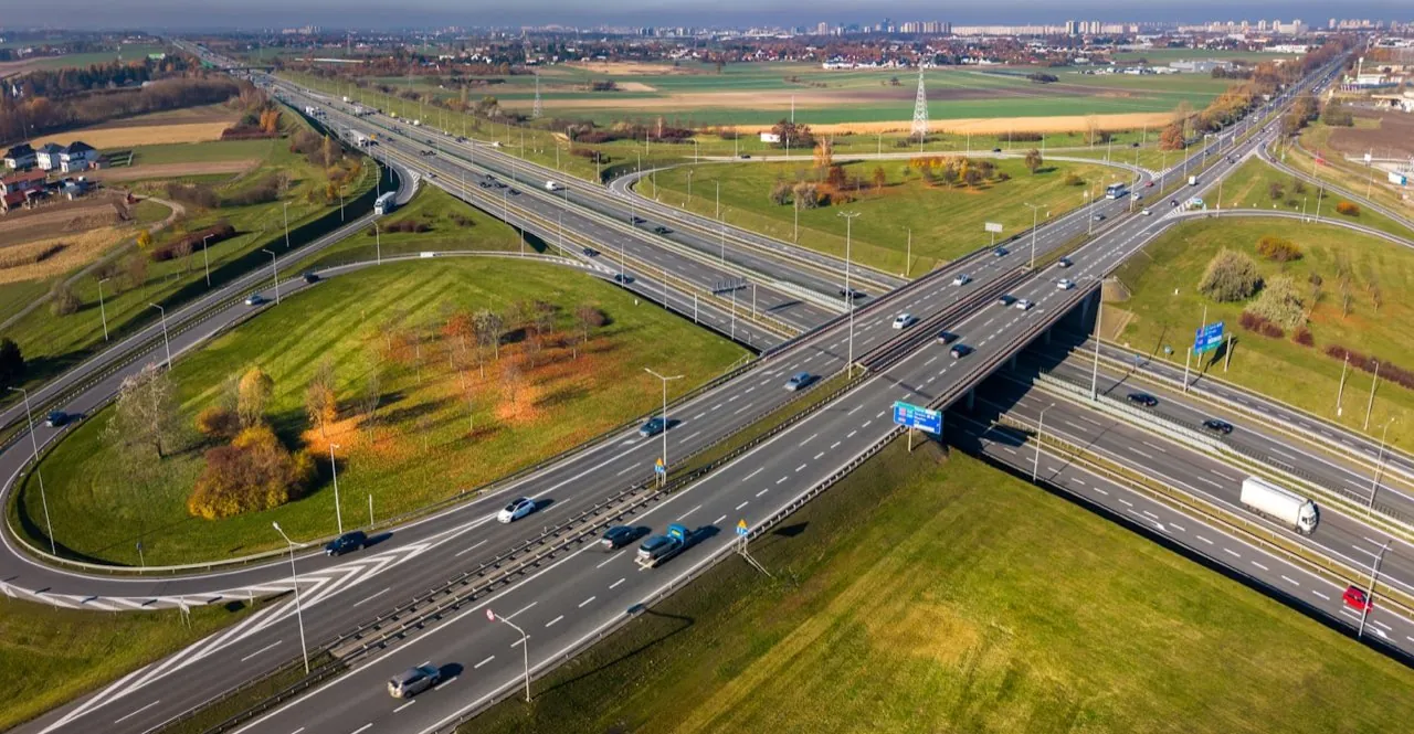 Highway & Road Surveys
Service Overview
Our measured road surveys provide transport planners, civil engineers, and local authorities with precise topographic data of highway corridors, junctions, and pavements. By utilizing UAV-assisted photogrammetry and RTK positioning, we capture comprehensive level grids, lane markings, drainage gullies, and street furniture. This removes surveyors from live carriageways, dramatically improving safety and eliminating the need for traffic management or road closures during baseline data capture.
Want a ballpark price now?
Build a no-obligation estimate for measured road surveys in seconds.
Key Benefits
Accuracy & Methodology
We establish high-precision Ground Control Points (GCPs) along the road margins using GNSS rovers. The drone flies a pre-planned linear corridor path, capturing nadir and oblique imagery with high overlaps. The RTK-corrected coordinates are integrated during photogrammetric reconstruction to generate a metric-grade elevation model, from which CAD vectors, kerb lines, and height grids are extracted.
Data & Deliverables
We export high-density spatial datasets ready for ingestion in leading architectural and civil engineering software.
- Topographic CAD files (.DWG) with detailed road markings, levels, and street furniture
- Digital Surface Models (DSM) and level grids at specified intervals (e.g. 1m/5m)
- High-resolution ortho-rectified imagery of the road corridor
- Detailed cross-sections and longitudinal profiles
Service Specific FAQ
Q: Do these surveys require road closures?
No. Because the drone captures data from the air, road corridors and busy London junctions can remain fully active. We operate from safe launch zones off the main highway, ensuring zero disruption to traffic flow.
Q: Are the outputs compatible with MX Road or Civil 3D?
Yes, all topographic lines, levels, and points are formatted as standard CAD vector layers (.DWG) and land XML formats, ready for immediate use in highway design suites.