Orthomosaic Mapping in London
Geo-referenced, ortho-rectified high-resolution map mosaics for site assessment, planning applications, and GIS layers.
From £750 + VAT — build an instant estimate↓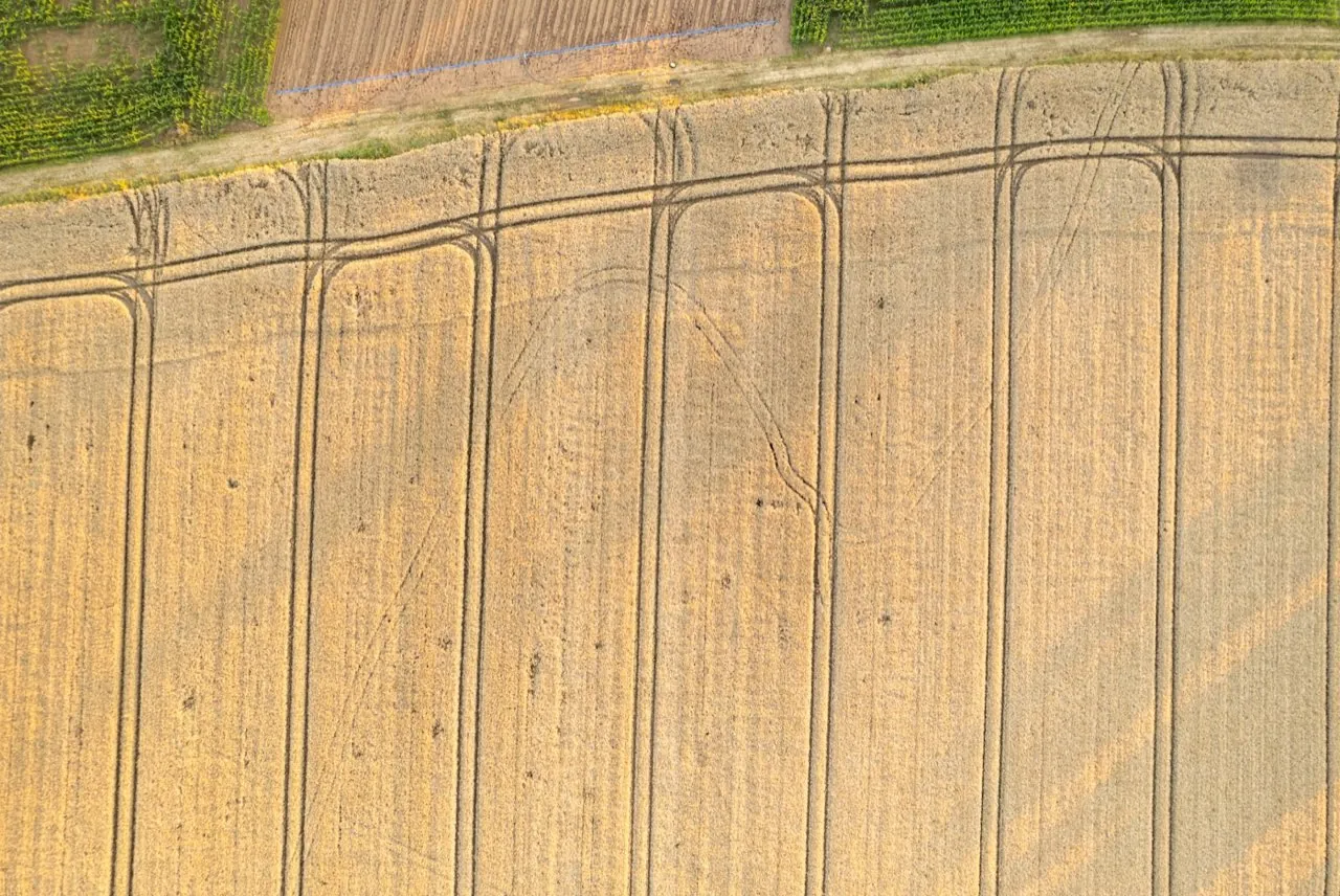 Photogrammetry & 3D Mapping
Service Overview
An orthomosaic is a highly detailed map composed of multiple aerial images that have been geometrically corrected ('orthorectified') to remove perspective distortion and terrain relief. The result is a scale-accurate map where distances can be measured exactly, acting as a real-time aerial survey sheet. Unlike satellite imagery, our maps offer sub-centimetre resolution, capturing features down to individual paint markings, drain covers, and structural joints.
Want a ballpark price now?
Build a no-obligation estimate for orthomosaic mapping in seconds.
Key Benefits
Accuracy & Methodology
We fly a grid pattern over the target area using our DJI Matrice 4E drone, maintaining consistent altitude relative to the terrain. Images are captured at nadir (pointing straight down). The photogrammetric processing calculates a digital surface model first, which is then used to drape and project the images, eliminating distortions caused by lens angle and ground elevation variations.
Data & Deliverables
We export high-density spatial datasets ready for ingestion in leading architectural and civil engineering software.
- Geotagged GeoTIFF format maps (with coordinate reference systems embedded)
- Compressed Web Tiles (MBTiles or KMS folders) for web mapping tools
- High-resolution PDF and JPEG layout exports with scales and title blocks
- CAD-overlays aligning visual map data with structural drawings
Service Specific FAQ
Q: What coordinate systems do you use?
We typically deliver in OSGB36 (British National Grid) with Ordnance Datum Newlyn (ODN) heights. However, we can project the data into any global projection (such as WGS84) or local arbitrary grids as specified by your project team.
Q: Can these maps show site changes over time?
Absolutely. We offer repeat flyovers (weekly, monthly, or quarterly) and align each map exactly using persistent ground control, allowing you to track site progress or boundary alterations over time.