Stockpile & Volume Surveys in London
Fast, safe, and highly accurate volumetric measurements of bulk materials, aggregates, and excavations.
From £550 + VAT — build an instant estimate↓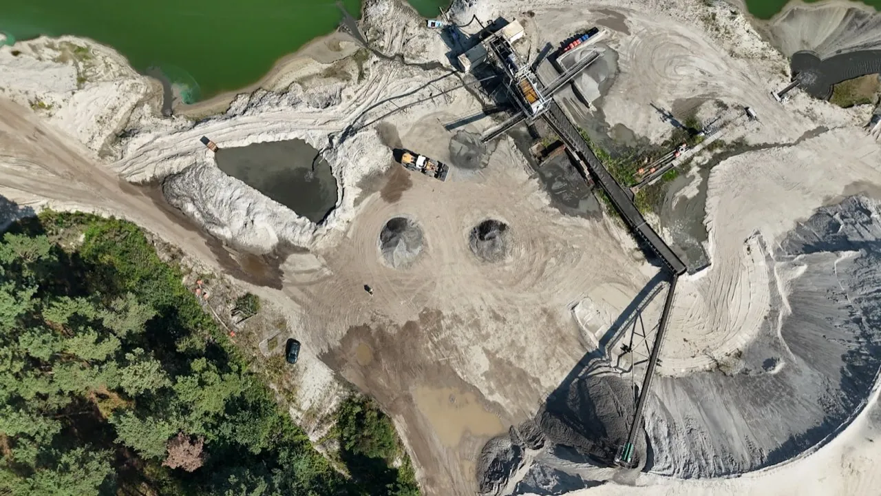 Volumetric & Earthworks Surveys
Service Overview
Measuring bulk materials by hand is slow, dangerous, and prone to calculation errors due to uneven shapes. Our drone volumetric surveys capture the exact surface geometry of stockpiles, waste piles, or excavations from above. By comparing the surface models against baseline ground levels or historical data, we calculate material volumes, weights, and cut-and-fill balances in minutes, keeping surveyors safe from unstable piles.
Want a ballpark price now?
Build a no-obligation estimate for stockpile & volume surveys in seconds.
Key Benefits
Accuracy & Methodology
The drone captures overlapping aerial images of the material yards. In the processing stage, we define the base plane of each pile digitally (either using a flat floor, pre-surveyed bunker walls, or interpolating the surrounding terrain). The volume is calculated by computing the difference between the pile's 3D surface model and this base plane.
Data & Deliverables
We export high-density spatial datasets ready for ingestion in leading architectural and civil engineering software.
- Volumetric Survey Report (PDF detailing stockpile volume, area, and heights)
- Cut-and-Fill contour maps showing height variances
- 3D Mesh models of individual stockpiles for visualization
- CSV tables listing stockpile inventory quantities
Service Specific FAQ
Q: How do you define the bottom of a stockpile if it is already piled up?
If we have a pre-existing survey of the empty yard or bunker floor, we use that as the 'baseline'. If not, we interpolate the base plane by tracing the edges of the stockpile's perimeter. Pre-existing baselines yield the highest accuracy.
Q: Can you estimate tonnage as well as volume?
Yes. If you provide the bulk density of the material (e.g. 1.6 tonnes/m³ for aggregate), our reporting tool automatically calculates the total tonnage of each pile.