Sectors & Industries
Energy & Renewables Drone Surveys
Rooftop solar capacity mapping, thermal building audits, and utility corridor terrain models.
 Energy & Renewables
Precision Geospatial Data & UAV Capture
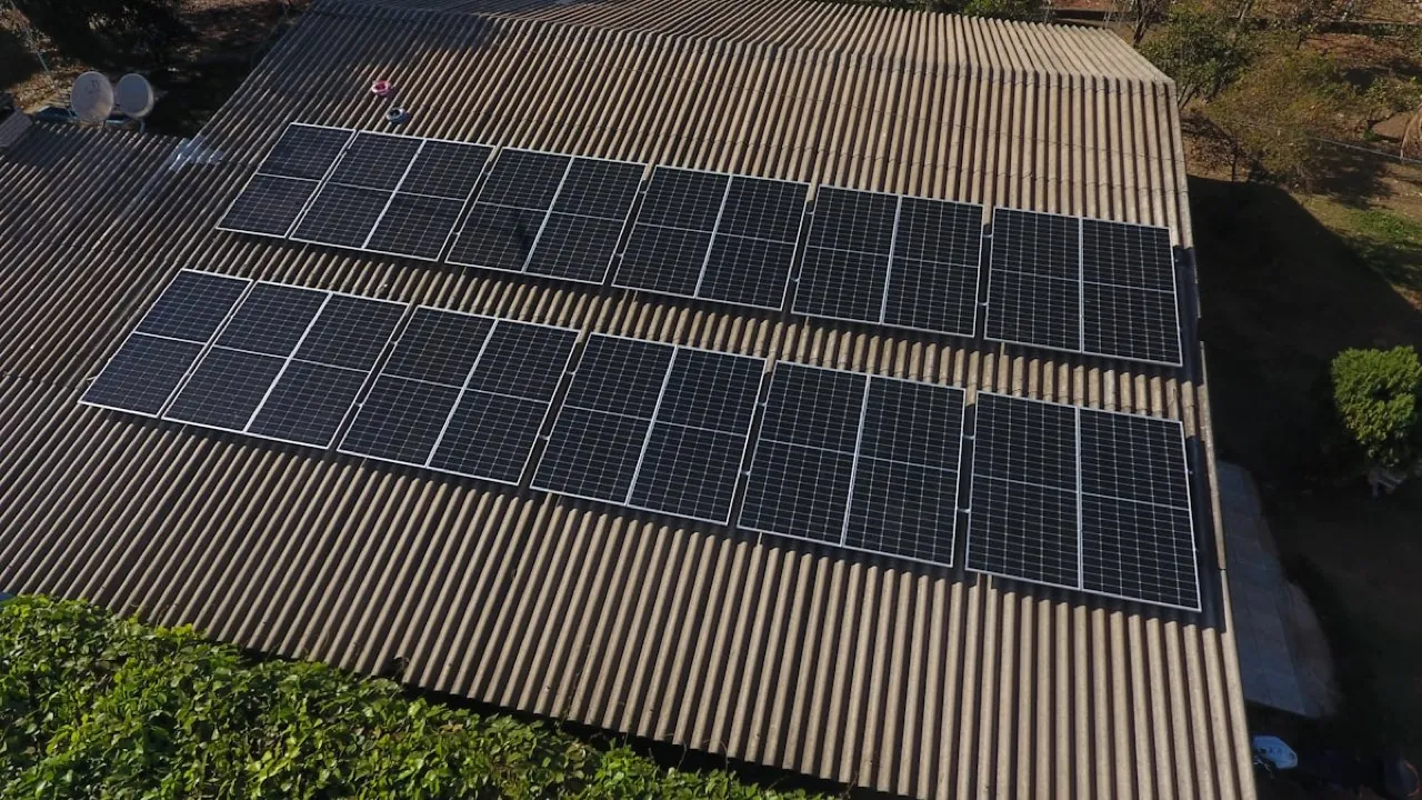
The transition to net-zero in London is driving massive installation of rooftop solar (PV) arrays and building heat efficiency upgrades. We provide energy consultants and commercial contractors with accurate roof maps and thermal profiles. Our drone topographical scans and measured layouts show exact structural angles, parapet clearances, shadow casting features, and thermal anomalies, enabling precision PV design.
Tailored Survey Offerings
1. Measured Roof Space Mapping
Scale drawings of commercial roofs detailing chimneys, skylights, and mechanical plant obstacles to map solar arrays.
View Roof Surveys Specifications2. Digital Surface Modeling (DSM) for Shade
Generate 3D surface models of neighboring structures to analyze hourly shadow projections on solar panels.
View Elevation Modeling SpecificationsKey Sector Benefits
Precision Solar Layouts: Millimetre-accurate roof dimensions ensure maximum solar panel capacity planning.
Thermal Anomaly Mapping: Specialized sensors identify structural heat loss, insulation voids, and water ingress.
Terrain Slopes for Renewables: Grade and contour mapping for utility pipelines, battery yards, and sub-stations.
Rapid Feasibility Data: Fast flight scheduling helps solar developers win tenders and secure planning.