Engineering & Survey Practices Drone Surveys
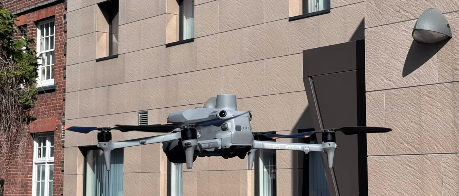
UAV data capture acting as a subcontractor for traditional land, building, and civil surveying consultancies.
 Engineering & Survey Practices
Precision Geospatial Data & UAV Capture
We act as a trusted specialist subcontractor to established UK land surveying and engineering practices. Consulting firms utilize our drone fleet to capture dense datasets (point clouds, orthomosaics) on large or complex sites, while their in-house teams handle traditional boundary verification, total station checks, and setting out. All our data is calibrated to local coordinate reference systems using surveyed ground control checkpoints.
Tailored Survey Offerings
1. Photogrammetric Point Clouds
Provide your engineering teams with registered .LAS or .LAZ point clouds that integrate directly with Revit or Civil 3D.
View Photogrammetry Surveys Specifications2. LiDAR Ground Classification
Deliver filtered ground-only datasets to your GIS team for sites covered in dense brush or woodland canopies.
View LiDAR Surveys Specifications3. 3D Laser Scanning & Scan-to-BIM
Add survey-grade terrestrial laser scanning to your projects without buying scanners — registered point clouds and Revit models delivered to your standards as a white-label resource.
View 3D Laser Scanning Specifications4. MEP Design & BIM Coordination
Outsource clash-free mechanical, electrical, and plumbing modelling and coordination, built on accurate existing-conditions surveys and issued to your BIM Execution Plan.
View MEP Design & BIM Specifications