Infrastructure (Road, Rail, Utilities) Drone Surveys
Topographic corridor scanning, bridge clearances, and structural surveys for critical transport networks.
 Infrastructure (Road, Rail, Utilities)
Precision Geospatial Data & UAV Capture
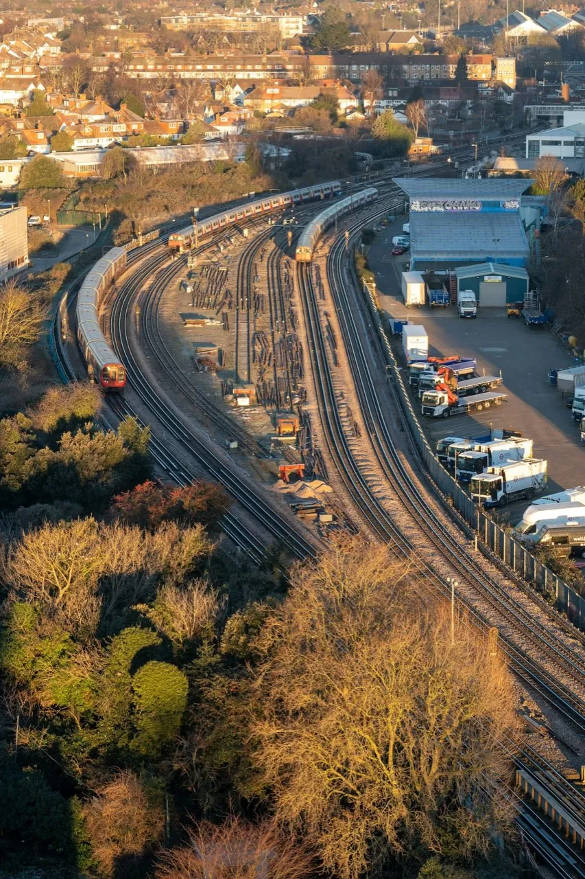
Surveying busy rail corridors, active highways, and major utilities in London presents extreme safety risks and operational barriers. Our UAV-assisted infrastructure surveys capture accurate structural elevations, level grids, and alignments without placing personnel on live lanes or tracks. We establish high-precision GNSS ground control, providing engineering practices with coordinate grids that align with standard British National Grid (OSGB36) grids.
Tailored Survey Offerings
1. Bridge Geometric Surveys
Map spans, piers, and clearances for major road or rail crossings, providing CAD-ready meshes for structural inspections.
View Bridge Surveys Specifications2. Measured Road Topography
Topographic corridor mapping of highways, junctions, and interchanges to support lane resurfacing and safety scheme designs.
View Measured Road Surveys Specifications3. LiDAR Utility Corridor Scans
LiDAR scans that penetrate foliage to map terrain under pylons, overhead cables, and railway embankments.
View LiDAR Corridor Surveys Specifications4. Marine & Hydrographic Surveys
Survey river walls, bridges, jetties, and the riverbed along the Thames and London's waterways, combining above-water capture with tide-referenced hydrographic measurement.
View Marine & Hydrographic Surveys Specifications