Property & Real Estate Drone Surveys
High-accuracy measured roof scans, structural elevations, and Rights of Light models for commercial properties and estates across London.
 Property & Real Estate
Precision Geospatial Data & UAV Capture
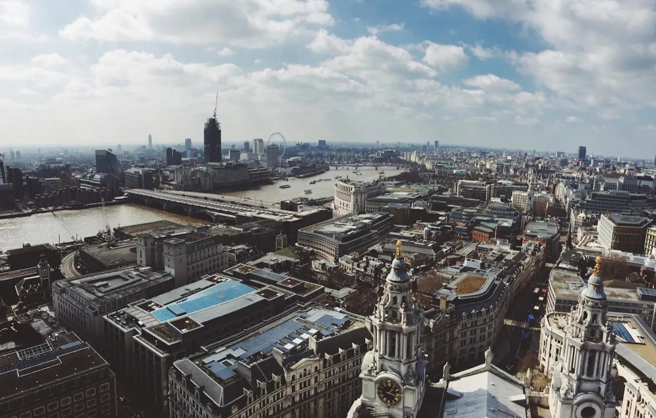
Managing high-value real estate in Greater London requires precise documentation of external envelopes, structural boundaries, and rooftop plant equipment. London Aerial Surveys provides property developers, commercial surveyors, and asset managers with accurate measured drawings and 3D models. By replacing expensive scaffolding and cherry pickers with RTK-enabled drone captures, we inspect and map roofs and facades safely, quickly, and with minimal occupant disruption.
Tailored Survey Offerings
1. Measured Roof Surveys
Safely map roof geometry, valley lines, drainage runs, and plant layouts on commercial office buildings and heritage terraces.
View Roof Surveys Specifications2. Orthomosaic Site Mapping
Generate geo-referenced, sub-centimetre resolution site overview maps for land boundary verification and property brochures.
View Orthomosaic Mapping Specifications3. Facade Elevation Mapping
Capture high-resolution vertical elevations and point clouds to support masonry refurbishment and cladding audits.
View Facade Scanning Specifications4. Measured Building Surveys & Floor Plans
Accurate scaled floor plans, elevations, and sections of flats, offices, and retail units to underpin refurbishment, fit-out, and planning design.
View Measured Building Surveys Specifications5. Matterport 3D Virtual Tours
Immersive, navigable 3D tours and dollhouse models for marketing high-value property to remote buyers and tenants, and for permanent asset records.
View Matterport Virtual Tours Specifications6. Land Registry Lease Plans
HM Land Registry compliant lease plans with accurate red-edged demise, prepared to the correct scale so leases register first time.
View Land Registry Lease Plans Specifications