Construction & Civils Drone Surveys
Integrating precision drone topographical mappings and volume scans to streamline site logistics, monitor earthworks, and secure structural baseline coordinates.
 Construction & Civils
Precision Geospatial Data & UAV Capture
In London's fast-paced development sector, keeping civil and construction projects on timeline and within budget requires instant access to accurate site geometry. Traditional land surveying methods can create bottlenecks, stalling contractors while ground crews manually measure site coordinates. Our drone surveying solutions bypass ground constraints, delivering dense coordinate meshes, level grids, and orthomosaics. Operating with DJI Matrice 4E RTK systems, we provide developers and principal contractors with rapid, survey-grade data capture that integrates directly with existing design and BIM models.
Tailored Survey Offerings
1. Greenfield & Brownfield Topographical Surveys
We deliver scale-accurate 2D and 3D CAD drawings (.DWG) mapping boundary markers, level variances, structures, and utility interfaces. Our drone topography flights capture millions of coordinates, providing design teams with highly detailed baseline sheets.
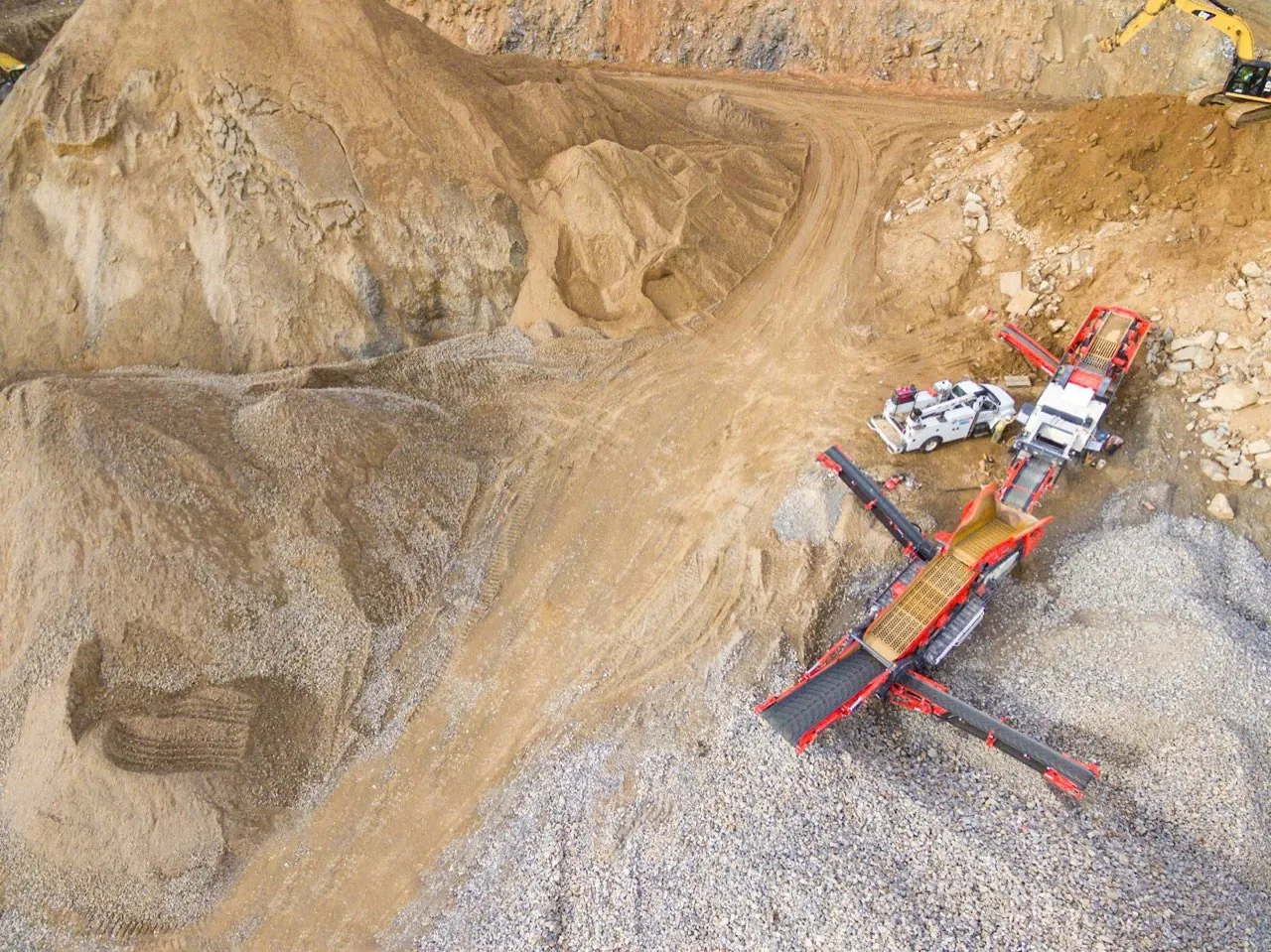
View Topographical Surveys Specifications2. Stockpile & Earthworks Volume Management
Eliminate the risk of personnel climbing onto unstable aggregate heaps. Our drone volume scans capture stockpile heights, computing precise cubic volumes, densities, and estimated weights in minutes.
View Volumetric Surveys Specifications3. Pre-Construction Baseline & Dilapidation Scans
Protect your company against third-party structural damage claims. We capture geo-referenced, high-definition visual baselines of surrounding pavements, structures, and assets before work begins on site.
View Pre-Construction Surveys Specifications4. As-Built Steel & Structure Verification
Verify erected steelwork and structures against the design model with millimetre-accurate as-built surveys, catching setting-out and fabrication deviations before follow-on trades begin.
View As-Built Surveys Specifications